PUV Transportation Route and Mapping System Capstone Project
Table of Contents
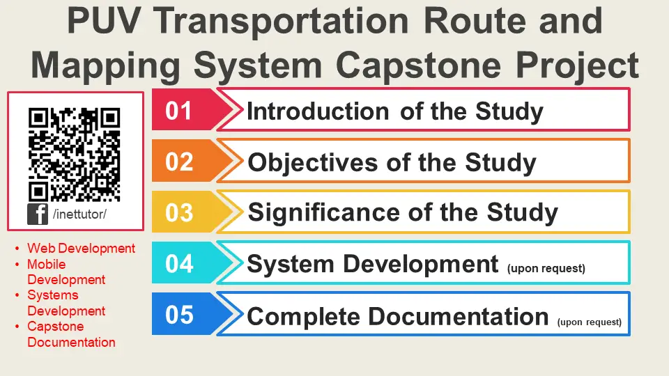
Introduction of the Study
The capstone project,” PUV Transportation Route and Mapping System” is intended to reform and restructure the current public utility vehicles transportation route and mapping system. The said project will systematically present specified PUV routes for better and more reliable service for commuters.

Nowadays, majority of commuters rely on public utility vehicles (PUVs) for their transportation. Currently, there is a potential problem with the existing PUV routing and mapping scheme. PUV drivers refuse to adhere to their assigned stops, slowing their progress and will probably create traffic congestion along routes. In addition, as the number of commuters increases, so does the number of vehicles on the road, increasing redundancy and likely increasing the number of unregistered PUVs. Public transportation that lacks an effective route and mapping system would be ineffective in providing service to commuters.
Proposed Solution
The researchers of the study proposed the PUV Transportation Route and Mapping System as a solution for the aforementioned problems in the existing system of Public transportation routing and mapping. The system will be used to electronically track and identify designated routes and stops to effectively direct PUV Drivers. The system will include a map feature that will allow drivers to easily visualize their assigned routes and where they should stop. The device will assist in preventing unregistered PUVs on the lane and meet commuter demands. Drivers who follow the specified routes will provide fast and convenient transportation to the commuters.
Objectives of the Study
General Objective – the main goal of the project is to develop a PUV Transportation Route and Mapping System for effective tracking and identification of routes.
Specifically, the project aims the following objectives:
- To develop a system to strictly manage routes and avoid route redundancy.
- The system will track registration of PUVs and avoid unregistered ones in the lane.
- To design a system with mapping feature to easily visualize designated routes and stops.
- The system will help provide efficient service and meet commuter’s demands.
- Develop the system using PHP, JavaScript, Bootstrap, Jquery, Json, HTML5 and CSS3 from Visual Studio Code platform, MySQL for the database.
Significance of the Study
The following groups or individuals will benefit from the project:
PUV Drivers. The system will help them be guided accordingly to their designated routes and stops to avoid problems while in the lane.
Department of Transportation. Output of study is a system or platform will help them effectively manage PUVs in the road and track unregistered PUVs who contributes to the increase numbers of public transportation in the road.
Commuters. The success of the project will highly benefit them by receiving a fast and convenient services from public transportation. The system will lessen the delays they might encounter in commuting.
Researchers. The researchers of the study will gain more experience, knowledge and skills in conducting and developing the project. In addition, the project will also serve as their training grounds as they practice and implement their skills in research and computer programming.
Future Researchers. They can use the study as a baseline in creating their own version of Transportation Route and Mapping System. Output of the project will be in two ways, completed system and the completed documentation. Future researchers can use the documentation as their reference and related literature. Completed system may serve as their guide in order to enhance and add functionalities for the improvement of the project.
You may visit our facebook page for more information, inquiries and comments.
Hire our team to do the project.


